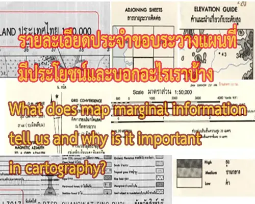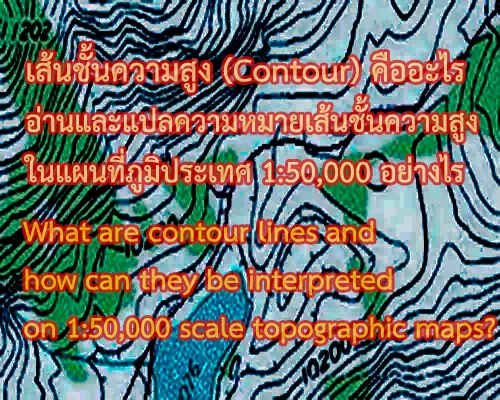
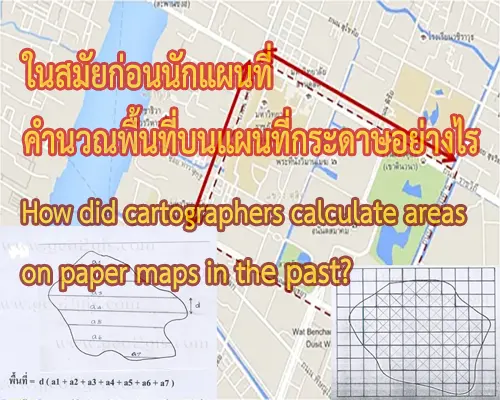
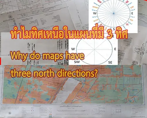
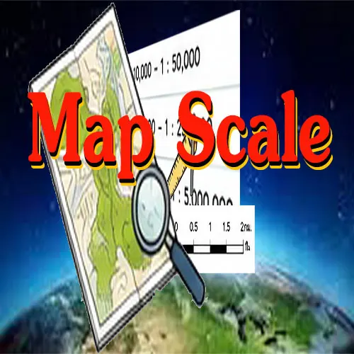
ดังนั้นการบันทึกข้อมูลลงบนแผนที่จึงควรเข้าใจทั้ง 3 ส่วน หลักเป็นสำคัญ สำหรับการถ่ายทอดลักษณะของพื้นผิวโลกลงสู่พื้นราบเป็นแผนที่โดยใช้สัญลักษณ์นั้น จำเป็นต้องเข้าใจเรื่องการย่อส่วน หรือมาตราส่วน เป็นสำคัญ โดย มาตราส่วน หมายถึง อัตราส่วนเปรียบเทียบระหว่างระยะทางในแผนที่กับระยะทางในภูมิประเทศจริง โดยกำหนดให้ระยะทางในแผนที่เป็น 1 หน่วย
Consequently, it is essential to grasp the importance of recording data on the map throughout all three main components. Understanding minimization or scale is essential for accurately mapping the earth's surface onto a flat map using symbols. In this context, scale represents the ratio between map distances and actual distances on the ground, with the map distance set as 1 unit.
เมื่อ มาตราส่วน 1 : 1,000 หมายความว่า ถ้าวัดระยะในแผนที่ได้ 1 หน่วย ระยะในภูมิประเทศจะเท่ากับ 1,000 หน่วย เช่น
The map scale is 1:1,000, meaning that 1 unit on the map is equal to 1,000 units on the ground. For example:
ถ้าในแผนที่เท่ากับ 1.2 นิ้ว ในภูมิประเทศจริงจะเท่ากับ 1.2 X 1,000 นิ้ว หรือ 1200 นิ้ว หรือ 100 ฟุต
If it measures 1.2 inches on the map, that's equal to 1.2 x 1,000 inches, or 1,200 inches, which is 100 feet.
ถ้าในแผนที่เท่ากับ 10 เซนติเมตร ในภูมิประเทศจะเท่ากับ 10 X 1,000 เซนติเมตร หรือ 10,000 เซนติเมตร หรือเท่ากับ 1 กิโลเมตร
If it measures 10 centimeters on the map, that's equal to 10 x 1,000 centimeters, or 10,000 centimeters, which is 1 kilometer.