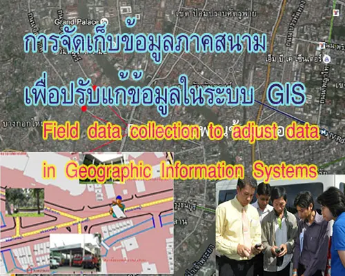
การสำรวจข้อมูลภาคสนามโดยใช้แผนที่เพื่อปรับปรุงข้อมูลในระบบสารสนเทศภูมิศาสตร์จำเป็นต้องพิจารณากำหนดชนิดของคุณลักษณะข้อมูล
แผนที่ เป็นสิ่งที่แสดงลักษณะของพื้นผิวโลกทั้งหมด หรือบางส่วนบนพื้นราบโดยการย่อส่วนและใช้สัญลักษณ์แทนรายละเอียดต่าง ๆที่ปรากฏอยู่ สิ่งที่สำคัญที่ต้องเข้าใจคุณลักษณะของแผนที่ ประกอบด้วย
Mapping is a representation of the characteristics of the Earth's surface, either globally or in specific regions, achieved through the process of scaling down and using symbols to represent various details present on the terrain. It is crucial to understand the features of a map, which include.
1. การถ่ายทอดลักษณะของพื้นผิวโลกลงสู่พื้นราบ Transferring the characteristics of the Earth's surface to a flat plane.
2. การย่อส่วน Scaling down.
3. สัญลักษณ์ Symbols.